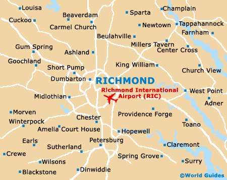
Richmond International Airport (RIC)
Orientation and Maps
(Richmond, Virginia (VA), USA)
Full of historic sites and a feel of the south, Richmond is full of spacious boulevards lined with mature trees, grand houses and topnotch dining venues. Richmond has a population of almost 200,000 and is divided by the James River, which meanders through the heart of the city.
To the southeast, the Richmond International Airport (RIC) is situated between Lewis Gardens and the White Oak Swamp. Closer to the city center, the Greyhound / Trailways bus station stands along the North Boulevard, while local city buses are operated by the Greater Richmond Transit Company (GRTC). Regular Amtrak trains travel to and from many prominent cities and towns, stopping on the northern side of Richmond, at Staples Mill Road.
Richmond International Airport (RIC) Maps: Important City Districts
Downtown Richmond can be reached via Broad Street and features many riverfront attractions. The Virginia State Capitol building can be found in the Court End area, together with a number of excellent museums, including the Valentine Museum and the Museum of the Confederacy, both of which are located along East Clay Street.
Notable uptown areas of Richmond include the Fan district and Carytown, both of which have much to offer in the way of fine dining. A number of excellent restaurants and bistros can also be found in the Shockoe Bottom district, which is linked to downtown Richmond by the scenic Canal Walk. One of the city's most popular attractions, the Canal Walk stretches for around 1.5 miles / 2 km alongside the James River and features 12 main stops along the way.
USA Map

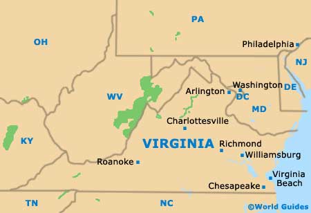
Virginia Map
Richmond Map